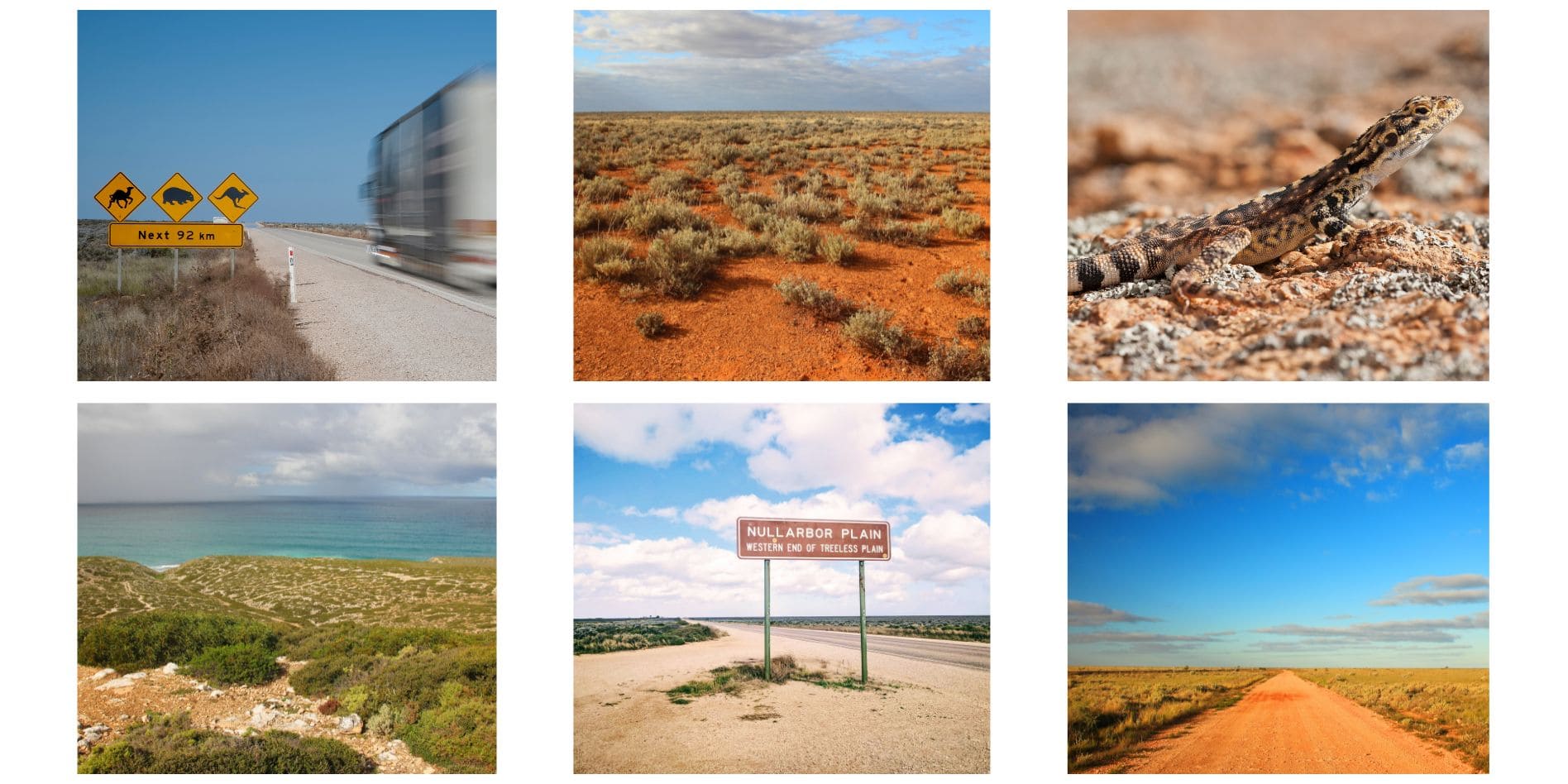
Have you ever dreamed of experiencing the vast Australian outback? Our Nullarbor road trip had long been on our Aussie bucket list, and while the journey was long, it was brimming with stunning cliff faces, open horizons, and unexpected wildlife encounters.
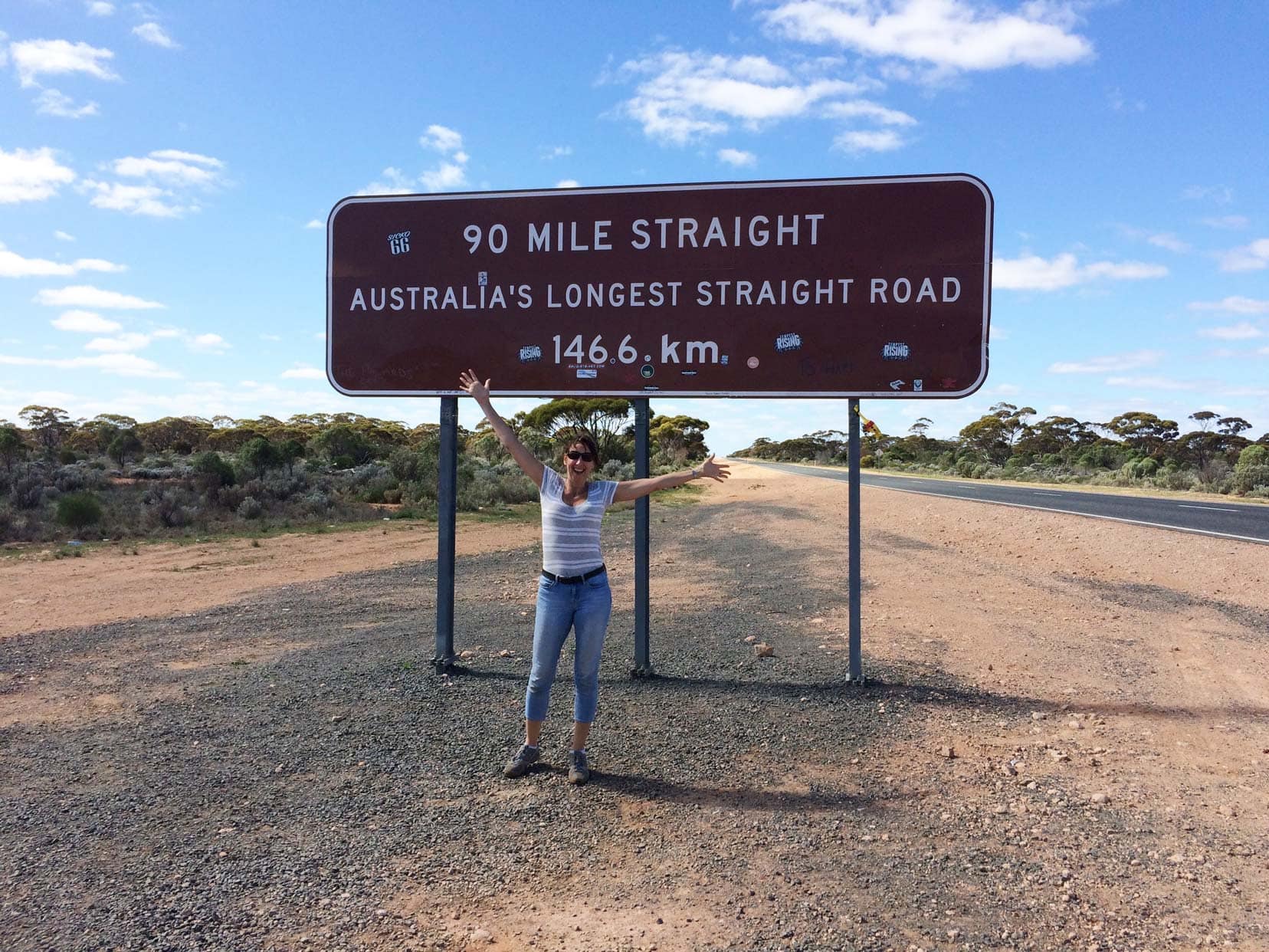
The Nullarbor stretches over 1,200 kilometres from Norseman in Western Australia to Ceduna in South Australia, passing through the iconic 90-mile straight—one of the longest, straightest roads in the world, with no bends for 90 miles.
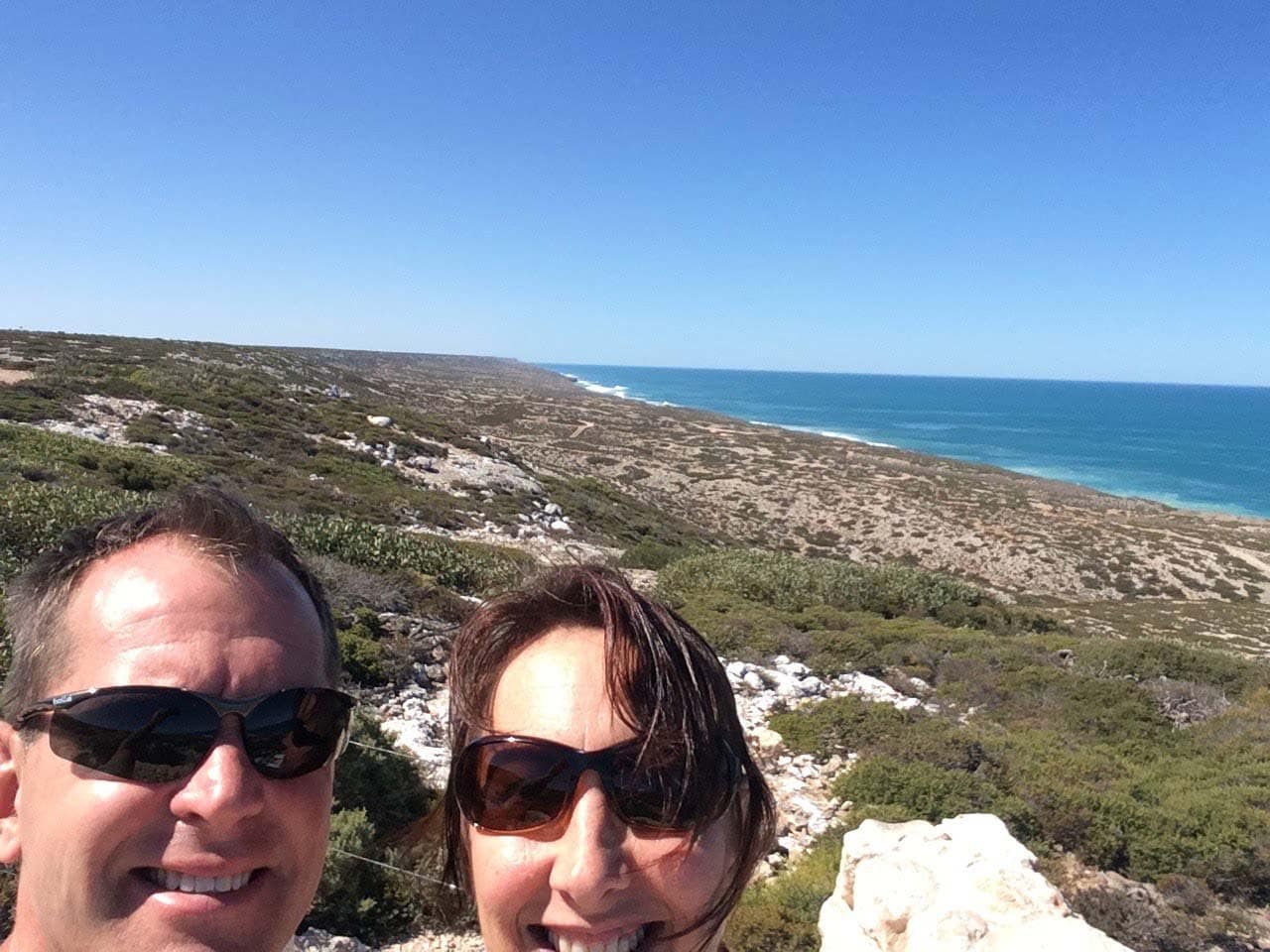
Alongside the road, the Great Australian Bight offers a spectacular side trip, where, if you’re lucky, you can spot southern right whales and humpback whales between May and October.
At night, the star-filled sky stretches endlessly above, immersing you in the true essence of the Australian outback.
Join us as we dive into the highlights and share essential tips from our journey across the Nullarbor as we drove from Perth to Melbourne.
In a Nutshell: Nullarbor Road Trip Essentials
- Distance: 1,200 km from Norseman (WA) to Ceduna (SA).
- Drive Time: Approx. 12.5 hours, but we recommend taking 3-4 days to enjoy the journey.
- Fuel Stops: Fuel stations can be far apart, so plan your stops carefully. Carry extra fuel, especially if you plan to explore off-road. Check the map for fuel stop locations.
- Wildlife: Watch out for kangaroos, camels, emus, and wombats. Drive during daylight to avoid collisions.
- Highlights: Explore Bunda Cliffs, Head of Bight (whale watching between May and October), and the world’s longest golf course.
- Road Conditions: Mostly sealed highways with occasional dirt tracks for off-road camping.
- Driving Tips: Service your vehicle, carry extra water and fuel, and avoid driving at night.
- Accommodation: Options range from roadhouses to free camping—use apps like WikiCamps to find campsites.
⭐️ Check out our Top Ten Camping and Off-grid essentials here
Driving the Nullarbor Map
How long Does it Take to Drive Across the Nullarbor?
Crossing the Nullarbor from Norseman to Ceduna spans approximately 1200 kilometres, and the direct driving time is around 12.5 hours.
However, for a more immersive experience, consider taking your time. We travelled across the Nullarbor in about three and a half days, camping at three different spots to fully appreciate this iconic route’s stark beauty and isolation.
This pace allowed us to explore the landscape, observe wildlife, and enjoy moments of solitude under the expansive Australian sky.
Journey Variations
The duration of your trip can vary based on several factors:
- Number of Stops: Want to take your time? Frequent stops at lookout points or local attractions like the Bunda Cliffs will definitely add to your journey—but they’re well worth it!
- Pace of Travel: Driving speed and time spent at each stop will affect your overall journey time.
- Interest in Local Attractions: Allowing time to explore unique landmarks like the historical Bunda Cliffs, the expansive cave networks, and the world’s longest golf course can enrich your experience.
Recommended Stops
- Bunda Cliffs: Offering breathtaking views of the Great Australian Bight.
- Head of Bight: A prime spot for whale watching from May to October.
- Eucla: Known for its old telegraph station and proximity to beautiful coastal dunes.
By considering these aspects, you’ll manage your time better and enhance your road trip across one of Australia’s most legendary landscapes.
Are you thinking of Hiring a Camper or Motorhome In Australia?
We recommend using Motorhome Republic to find you the best deal.
They do all the hard work and are available 24/7 to help you.
We used them when renting for 12 months in Europe and not only was the customer service excellent but they were able to find us better offers than when we approached the companies ourselves.
Preparing for Your Nullarbor Journey
Here’s your essential checklist for a smooth and safe journey:
- Vehicle Check: Ensure your vehicle is fully serviced and road-ready. Check oil, brakes, tyres, and coolant. Carry a spare tyre and know how to change it.
- Fuel Management: Plan for fuel stops—stations can be up to 200 km apart. Always fill up when you can, and consider carrying a jerry can for extra fuel. Use apps like Petrol Spy to track prices and stations along the route.
- Emergency Gear: With limited mobile coverage, consider getting a Telstra SIM or renting a satellite phone. Pack an emergency kit, including a first aid kit, flashlight, spare tyre, and plenty of water.
- Daylight Driving: Stick to daylight driving to avoid wildlife encounters and ensure better visibility.
- Rest Stops: Regular breaks are essential to avoid fatigue on long stretches. Plan your stops and camping spots ahead of time.
- Share Your Itinerary: Share your travel route and schedule with someone, and stay updated on weather and road conditions.
Driving the Nullarbor: What to Expect
Road Conditions and Terrain
The Nullarbor’s highway is mostly sealed and well-maintained, which is suitable for most vehicles. However, off-road camping spots may have rough dirt tracks, so ensure your vehicle is equipped for those conditions.
Safety on the Nullarbor: Key Concerns
Wildlife Hazards
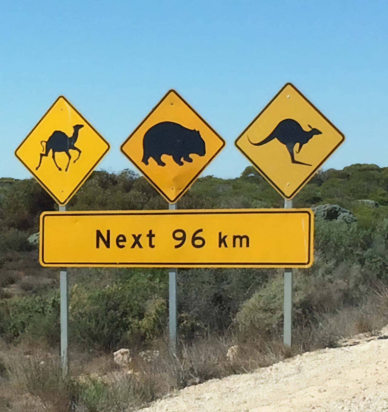
Be prepared to encounter wild camels, kangaroos, emus, and wombats, particularly at dawn and dusk. To minimise the risk of accidents, drive during daylight hours. Kangaroos are most active at sunrise and sunset and can suddenly jump onto the road.
Road Trains
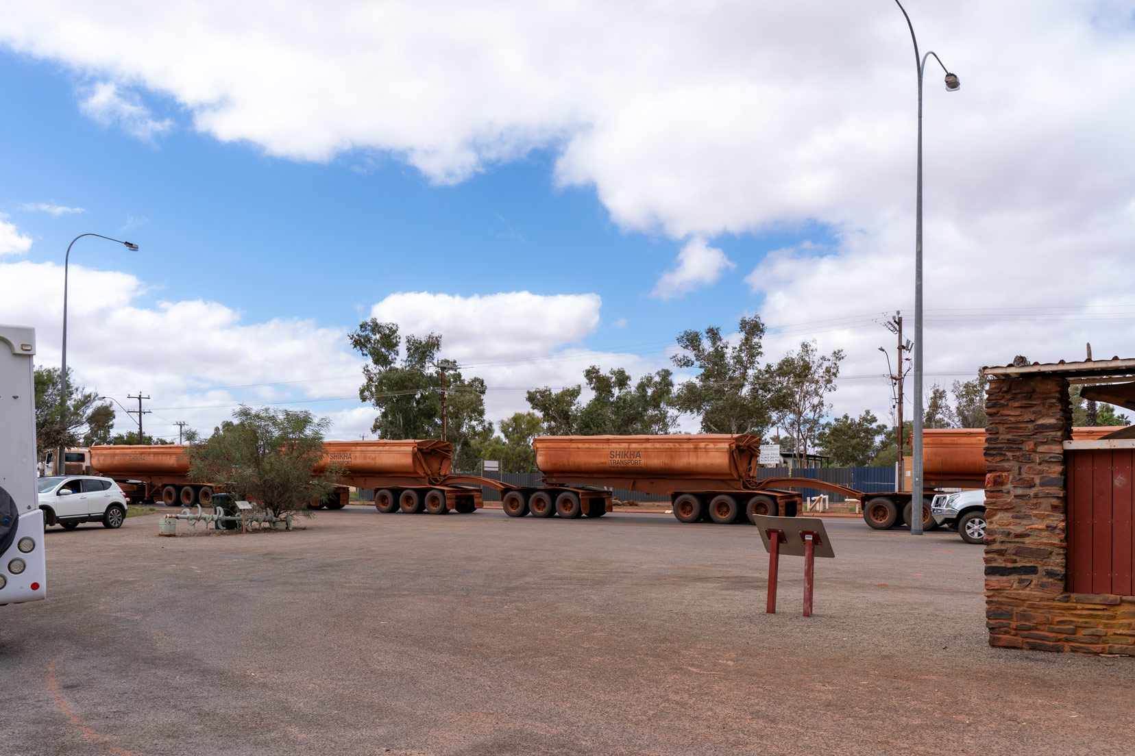
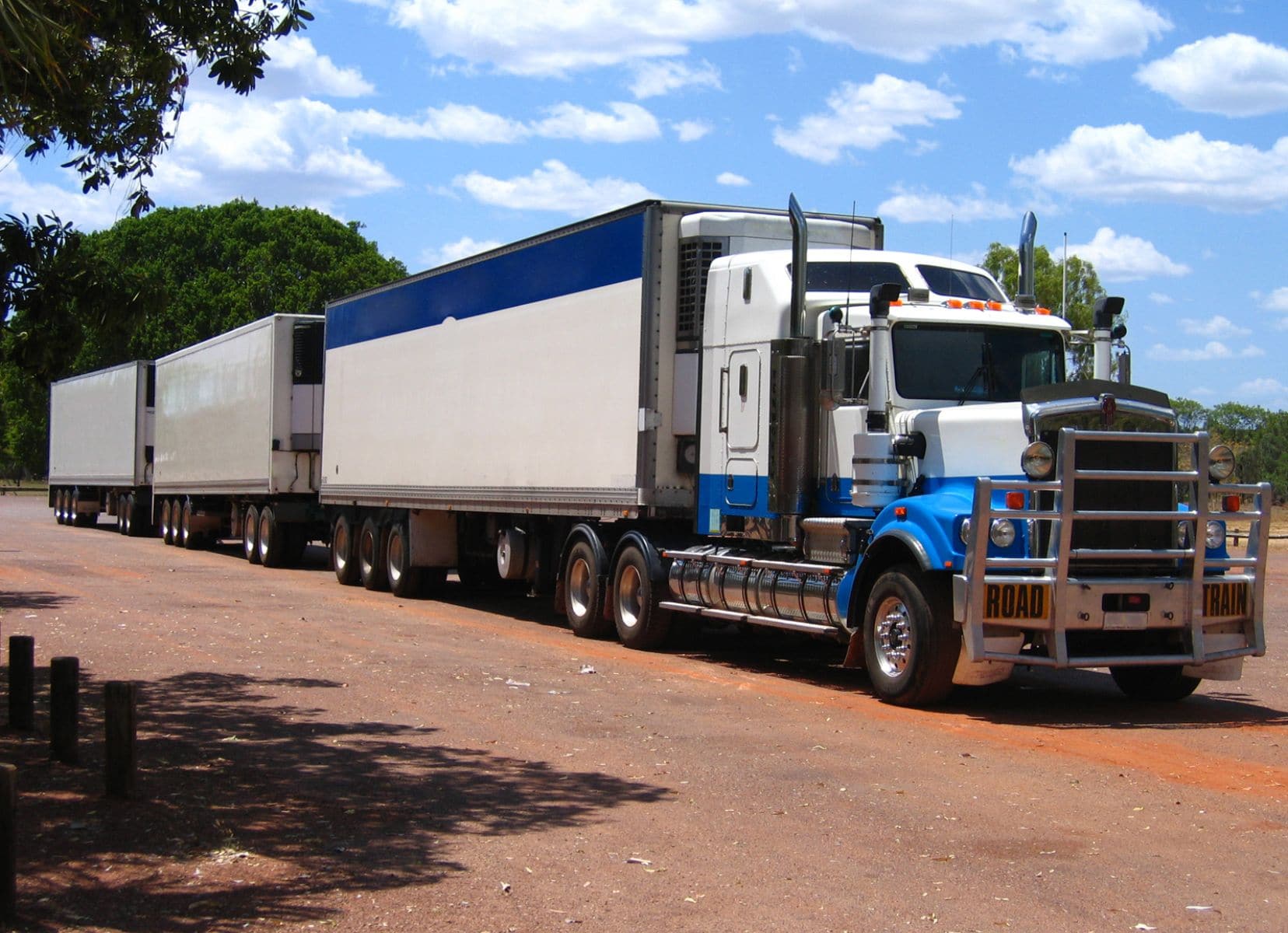
These massive vehicles can have up to four trailers, so always give them plenty of space when overtaking or following. Exercise caution when sharing the road with road trains; they take longer to stop and manoeuvre.
Familiarise yourself with safe practices around road trains with these safety tips card.
Fuel Stops on the Nullarbor: Distances Between Stations
Plan your fuel stops carefully along the Nullarbor to avoid running out. Here are the key distances between petrol stations:
- Norseman ⇒ 190 km
- Balladonia ⇒ 181 km
- Caiguna ⇒ 65.5 km
- Cocklebiddy ⇒ 91 km
- Madura ⇒ 116 km
- Mundrabilla ⇒ 66 km
- Eucla ⇒ 12 km
- Border Village ⇒ 184 km
- Nullarbor Road House ⇒ 144 km
- Nundroo ⇒ 81.5 km
- Penong ⇒ 71.5 km
- Ceduna
Refer to the map at the start of this post for exact fuel stop locations.
Wildlife on the Nullarbor
Crossing the Nullarbor offers a rare chance to spot some of Australia’s most iconic wildlife. As you travel through this vast landscape, keep an eye out for kangaroos, emus, camels, and even the occasional wombat. Below, you’ll find the best times and practical tips for safely spotting these animals.
Best Times and Tips for Wildlife Spotting
- 🦘 Kangaroos: Best seen at dawn and dusk, when they are most active. Be extra cautious when driving during these times, as kangaroos can unexpectedly cross the road.
- 🐪 Camels: These are occasionally found in the more arid sections of the Nullarbor. Keep a safe distance—camels can be unpredictable.
- Emus: Often visible in open areas during the day. If you’re taking photos, use a zoom lens as emus can run quickly when startled.
- 🦅 Dingos and Wedge-tailed Eagles: Watch out for these native predators—an exciting part of the wilderness experience.
- Wombats: These shy creatures are best spotted near dawn. Drive slowly, especially after dark, to avoid hitting them on the road.
- 🐋 Southern Right and Humpback Whales: From May to October, you may see these majestic whales from coastal lookouts, particularly at the Head of Bight.
Wildlife Safety Tips
- Always observe from a distance; do not feed or interact with wildlife.
- Avoid driving at night to reduce the risk of collisions with animals.
- If you must drive after dusk, keep your speed down to prevent accidents.
- Carry binoculars to observe wildlife from a safe distance without disturbing them.
Accommodation Along The Nullarbor
If you are camping or driving a motorhome or campervan, you can stop at the points marked on our itinerary or find a spot using a camping app such as WikiCamps, which is what we use when looking for free camping in Australia.
If you are looking for accommodation, then these are a couple of the main hotels/motels/roadhouses along the Nullarbor:
- Border Village Roadhouse: Pet-friendly accommodation, pool, and restaurant| ⭐️ 7.3 Review rating
- Nullarbor Road House: Reviews say it is comfortable, clean and has great food | ⭐️ 7.9 Review rating
| Distance from Norseman | Nundroo Hotel Motel and Nundoo Caravan Park |
| 191 km 🛌 ⛺️ | Balladonia Hotel Motel: Hotel and Caravan Park (08) 9039 3453 |
| 372 km 🛌 ⛺️ | Caiguna John Eyre Motel / Caiguna Caravan Park |
| 437 km 🛌 ⛺️ | Madura Pass Oasis Motel and Madura Road House Caravan Park |
| 528 km 🛌 ⛺️ | Mundrabilla Roadhouse and Caravan Park |
| 644 km 🛌 ⛺️ | Nundroo Hotel Motel and Nundoo Caravan Park |
| 709 km 🛌 ⛺️ | Eucla Motor Hotel Eucla: 12km west WA/SA Border – Tel. (08) 90393468 |
| 750 km 🛌 ⛺️ | Border Village Roadhouse and Camping |
| 905 km 🛌 ⛺️ | Nullarbor Roadhouse and caravan park |
| 1049 km 🛌 ⛺️ | Nundroo Hotel Motel and Nundoo Caravan park |
| 1128 km 🛌 ⛺️ | Penong Hotel and Penong Caravan Park |
See the interactive map at the top of this post, where all accommodation options have yellow pins.
Wild Camping on the Nullarbor
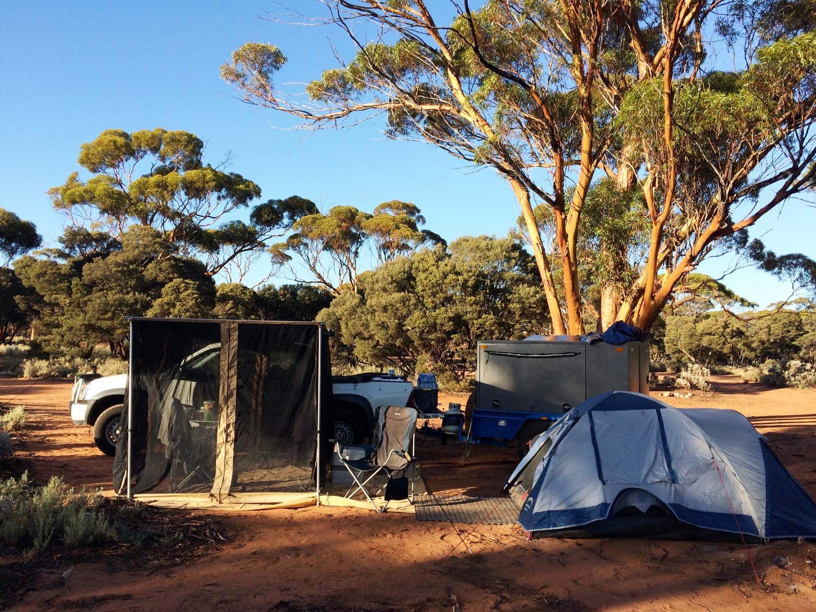
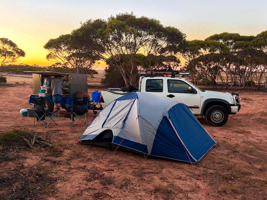
After about 120 km of driving the Nullarbor, we found a pull-off on the side of the road and set up our tent.
Madura Road House Campsite
We stopped the night at the Madura Roadhouse Caravan Park, which had good showers and a basic restaurant.
- Address: Eyre Highway
- Phone: 08-90393464
⭐️ For more on the necessary camping equipment for off-grid, read our Top Ten Must-Have Camping and 4×4 Gear and download our FREE Camping Checklist here.
Strange Time Zones on the Nullarbor in the Eucla
🕥 Something strange happens after you pass Caiguna Roadhouse on the Nullarbor – you enter a different time zone, even though you are still in Western Australia.
The Eucla has its own time zone along the Eyre Highway, so your phone won’t automatically pick up.
Driving from Perth, which uses AWST (Australian Western Standard Time) (UTC +8); you need to add 45 minutes to the time (UTC +8:45).
Once you pass Border Village, you’ll hit South Australia time, which is UTC + 9.30 or UTC +10.30, depending on whether it is summer or winter.
Confused yet?
It’s certainly an interesting quirk of Australia!
Hopefully, it won’t affect you too much – only if you are expected at one of the camps or roadhouses along this stretch of road that are on Eucla Time or ACWST (Australian Central Western Standard Time) or hoping to grab a bite and the restaurant is closed because you are on the wrong time!
The towns/roadhouses that use ACWST time are:
- Cocklebiddy WA
- Madura WA
- Mundrabila WA
- Eucla WA
- Border Village SA
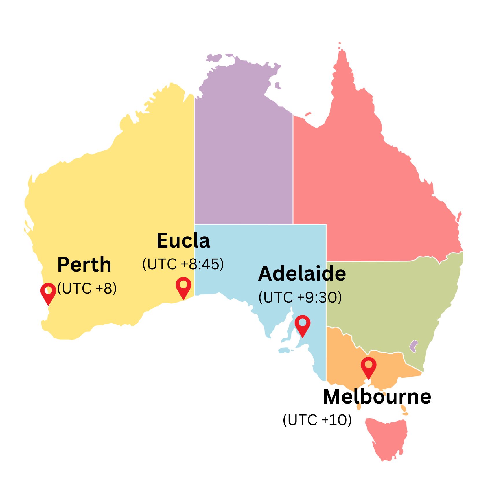
For Adelaide (SA) and Melbourne (VIC), add one hour to the UTC to adjust for Summer Daylight saving time (the first Sunday in October to the first Sunday in April).
Perth (WA) and Eucla time do not use daylight saving time.
Farewell WA, Hello SA: Entering the South Australian Outback
You will leave Western Australia and enter South Australia after passing through Border Village.
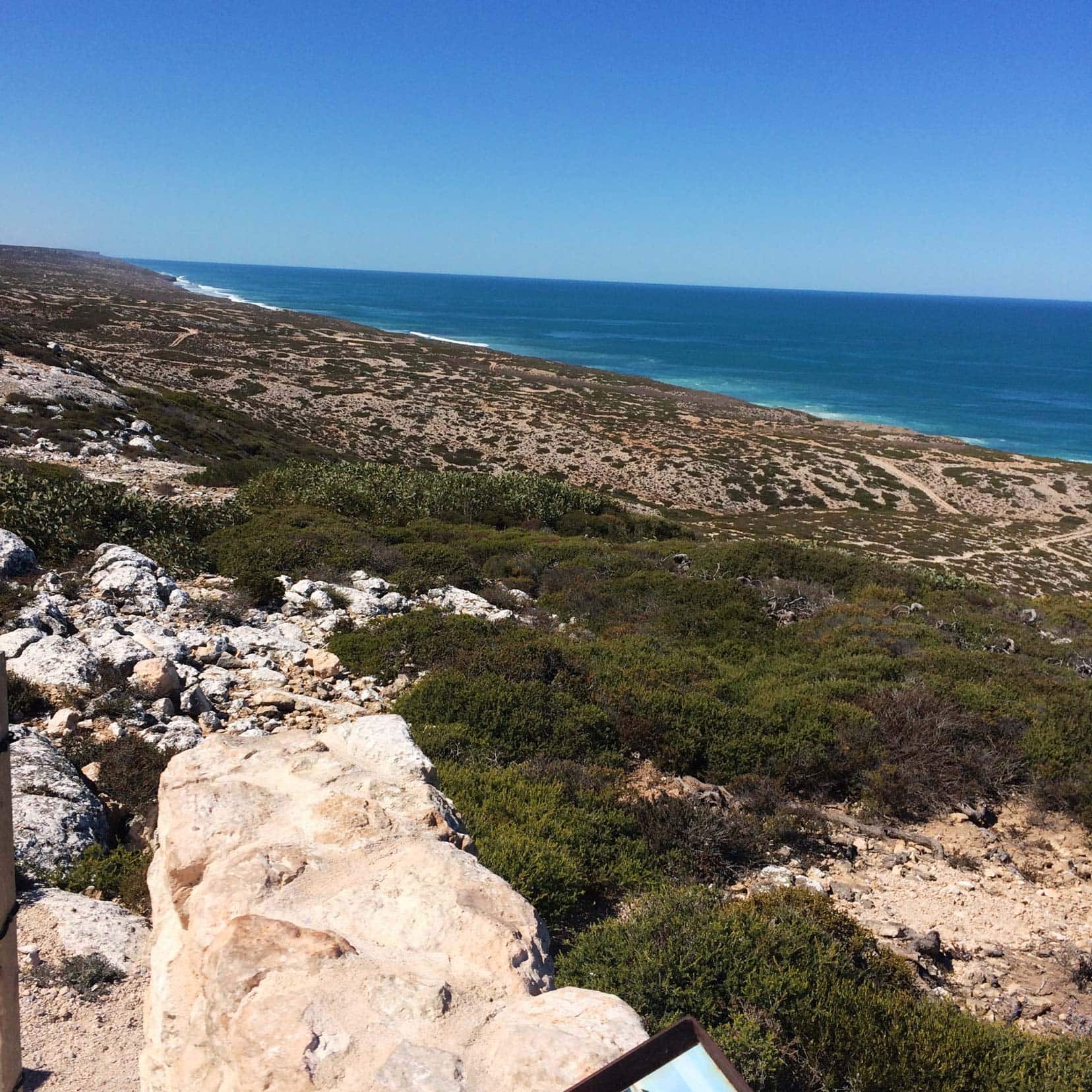
From there, you will pass plenty of lookout areas to stop and take in the views of the Bunda Cliffs overlooking the Great Australian Bight.
It was April, so we were too early to spot any whales, but if you travel between June and October, you can spot hundreds of whales and their young off the coast here.
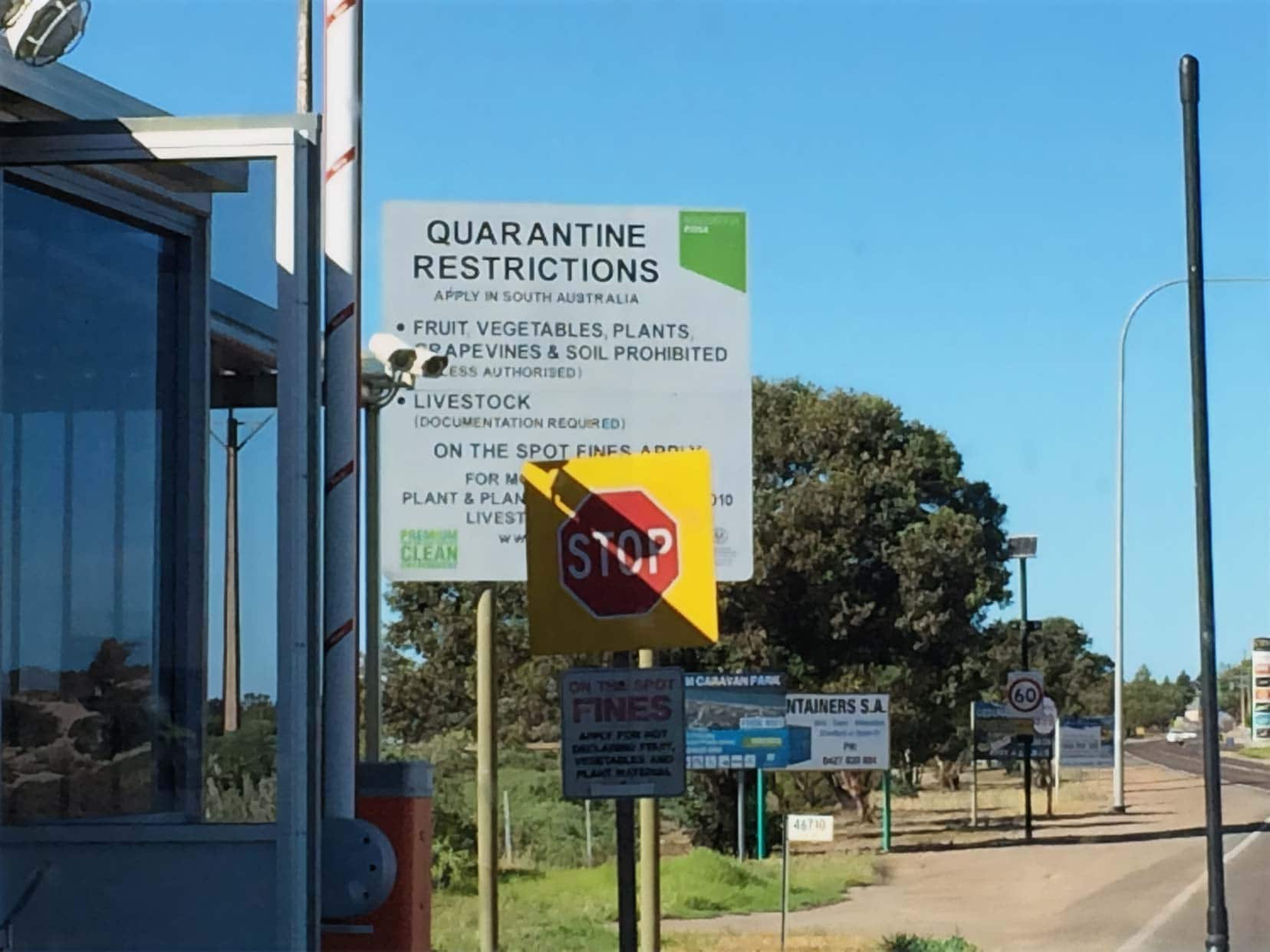
💡💡 IMPORTANT: Just before reaching Ceduna, you’ll pass through a quarantine station. Make sure to dispose of all fruit, vegetables, and plant materials in the designated bins before arriving to avoid hefty fines of up to $100,000.
Once we arrived in Ceduna, we stocked up on supplies and had a picnic on the foreshore overlooking Murat Bay.
At the end of the day, we pulled off the road at a free spot near Kyankutta. It looked like a lovely place to camp.
🚙 Read our Perth to Melbourne Road Trip for more details on this journey. If you are heading into Western Australia, you may want to explore Wave Rock or visit Esperance on the coast.
Crossing The Nullarbor Certificate
Crossing The Nullarbor Certificate
If you’re looking for a unique keepsake from your Nullarbor road trip, you can pick up a Nullarbor Certificate at the Ceduna Visitor Centre to show you’ve crossed the vast plains. You can also get one at the Kalgoorlie or Norseman Visitor Centres if you’re travelling from east to west.
- Ceduna Visitor Centre Hours:
Monday – Friday: 9 am – 5 pm
Weekends: 10 am – 4 pm
For golfing enthusiasts, there’s also a Nullarbor Links Certificate. This is awarded for completing the world’s longest 18-hole golf course, but you’ll need to collect stamps at each hole from the relevant towns or roadhouses along the way.
The World’s Largest Golf Course on the Nullarbor
For golf lovers, the Nullarbor offers a truly unique experience—the chance to play golf along the iconic Eyre Highway!
The Nullarbor Links is the world’s largest golf course, stretching 1,365 km from Kalgoorlie to Ceduna. Its holes are located at various roadhouses and towns along the way.
- Scorecards: Available to buy at the Kalgoorlie, Norseman, or Ceduna Visitor Centres.
- Golf Clubs: Don’t have your clubs? No problem—hire a set at each hole for around $5.
Playing the Nullarbor Links is more than just a quirky experience—it’s a chance to break up the drive with some fun! Each hole tells a part of the Nullarbor’s story, and you’ll find the course spread across roadhouses and small towns.
Nullarbor Road Trip … That’s a Wrap
Crossing the Nullarbor was an unforgettable adventure; we’d do it all over again.
If you’re planning your trip, take your time, soak in the solitude, and enjoy Australia’s incredible landscapes. Ready to start your journey?
Remember to check out our Guide on Western Australia to find articles on all the fantastic places to visit in the West of Australia.
And if you’re going to be camping as you’re crossing the Nullabor, grab our free Camping Checklist for your trip.
▶️ READ MORE: Our Top Tips for Camping Across Western Australia
Have you crossed the Nullarbor before? Share your favourite moments or tips in the comments below!
Pin and save for Later
Planning Your Travels?
These are the travel resources we recommend and use when planning our trips.
- 🚘 Car Hire: We use DiscoverCars.com
- Motorhome/Campervan Rental: We highly recommend the Motorhome Republic
- 🪪 Order your International Driver’s Licence online here
- ✈️ Flights: Find flights on Skyscanner
- 🛏 Book Accommodation: We use Booking.com to find accommodation that suits our budget
- 🐶 Pet Sitting/Pet Sitters: Check Out TrustedHousesitters here (Use our Discount code: LIFEJOURNEY25 for 25% off. )
- Activities and Experiences: Get Your Guide and Viator
- Travel Insurance: Safetywing or World Nomads
- 🥾 Travel Gear and Accessories: Check out our top picks here — Lifejourney4two page on Amazon
For a more thorough list, visit our Travel Resources page here.

